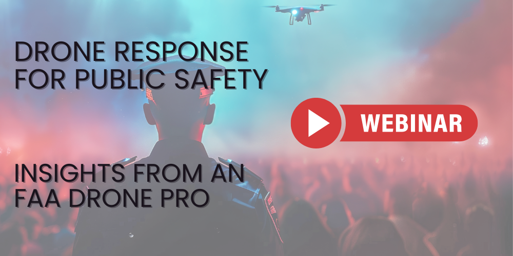

Summary: Preparing law enforcement for expanded drone mitigation: balancing detection, training, legal risks, and public safety. Legal restrictions in the U.S. severely limit active drone mitigation-non-federal entities cannot legally jam or shoot down a drone without a waiver.
Instead, the most effective mitigation starts with drone detection and pilot location, allowing security teams to assess intent and respond safely.
The conversation around drone mitigation capabilities for law enforcement agencies is gaining momentum, with increasing calls for national legislation to grant broader access to these tools. This article helps stakeholders consider how to prepare for expanded capabilities. It’s not a simple fix. There’s a lot to consider.
The Continued Importance of Drone Detection and Locationing
When law enforcement gains access to drone mitigation tools, robust drone detection and location capabilities must be maintained—agencies cannot mitigate what they cannot see or locate. The Federal Aviation Administration’s Remote ID mandate provides a critical component of this layered approach to airspace safety by requiring drones to broadcast identification and location information. This makes it easier for authorities to distinguish legitimate flights from potentially unauthorized or malicious ones, strengthening overall mitigation efforts and supporting broader safety goals.
A Layered Approach to Drone Mitigation Might Look Like This:
Detect/Verify: Detect unauthorized drones as far away as possible, providing critical time for assessment and response. Remote ID (RID) detection immediately assists by identifying if the drone broadcasts its identification and location. If it broadcasts RID, agencies quickly verify its legitimacy against flight plans or known authorized operations, reducing the need for immediate intervention. Effective drone detection at this stage improves overall decision-making.
Assess Intent: Accurately locate the drone and its operator, which is crucial for effective mitigation and any subsequent investigation. Without precise location data, mitigation efforts can be inefficient or even misdirected, potentially impacting legitimate drone operations. RID detection significantly aids this step; if a drone does not broadcast RID, it immediately raises a red flag, prompting increased scrutiny of its behavior and trajectory and suggesting a potential intent to evade identification. If it broadcasts RID, agencies gain enhanced situational awareness, understanding the drone's purpose and trajectory to better assess its intent. Clear identification of the drone pilot further strengthen this assessment.
Coordinate/De-escalate: Assess the drone's trajectory, payload capacity, and behavior to determine the appropriate response. RID detection facilitates coordination; knowing the identity of legitimate drone operators allows agencies to coordinate with them in public events or emergencies, and potentially de-escalate situations by confirming their authorized status. Knowing the pilot location so officers can find the pilot to assess intent helps prevent incidents and supports both public and drone safety.
Mitigate: Based on the assessment, determine if mitigation is necessary. If a drone is non-compliant with RID, agencies may prioritize mitigation due to the inherent lack of transparency. Conversely, if it is compliant, agencies focus resources on potential threats, rather than expending effort on legitimate flights.
Document: Document all aspects of the drone incident and the response. The presence or absence of RID data provides crucial information for a targeted investigation, helping agencies identify the drone and its operator. This documentation is vital for legal follow-up and future intelligence gathering.
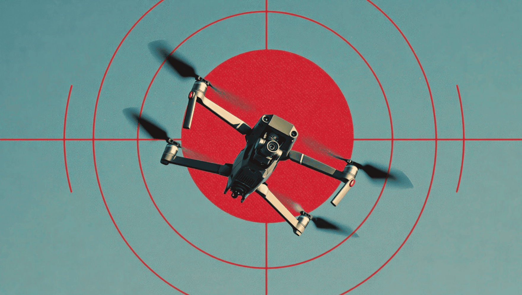
Potential Risks and Liability of Drone Mitigation
While drone mitigation offers a critical layer of security in certain situations where the threat level justifies it, it's crucial to acknowledge and prepare for potential risks associated with these actions:
-
Property Damage: Depending on the mitigation technique, there's a risk of the targeted drone crashing and causing damage to property or even injury to individuals on the ground.
-
Interference with Legitimate Flights: Improper or overzealous mitigation could inadvertently affect legitimate drone operations in the vicinity, including commercial deliveries, infrastructure inspections, or public safety missions.
-
Legal Liability: Agencies undertaking mitigation actions must be acutely aware of the legal ramifications, including potential liability for property damage, personal injury, or interference with lawful activities. Clear legal frameworks and operational guidelines are essential to minimize these risks, including careful evaluation of the legal risks of drone use in each context.
Getting Prepared: Education and Training for Drone Mitigation
As the landscape of drone mitigation evolves, education and comprehensive training will be essential for law enforcement personnel. This includes not only understanding the technical aspects of mitigation tools but also the legal frameworks, safety protocols, and the importance of accurate detection and locationing. Training should address best practices in drone detection, remote ID awareness, and documentation.
Under the recent Restoring American Airspace Sovereignty executive order, a National Training Center for Counter-UAS will be established to ensure that only properly trained and authorized, certified personnel may operate mitigation tools such as drone guns.
We encourage law enforcement agencies and relevant stakeholders to stay informed on legislative developments and to prioritize comprehensive training programs that cover all aspects of counter-drone operations. By doing so, they can ensure a prepared and effective response to evolving drone threats, safeguarding public safety and critical infrastructure.